Staff Reports | Business & Commerce
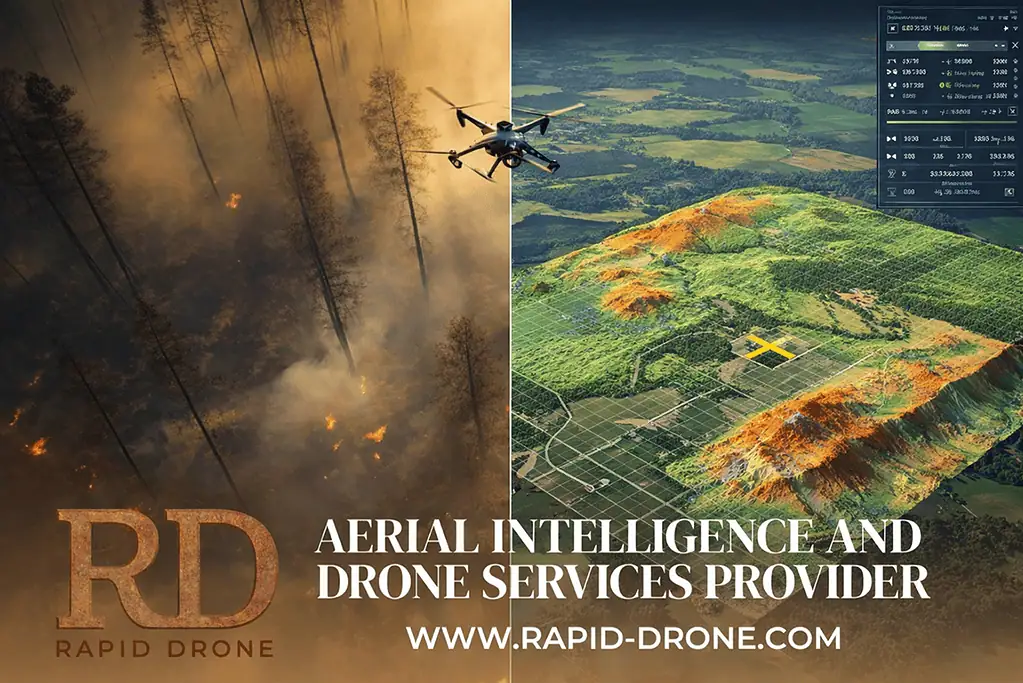
With the global commercial drone market projected to grow from about $30 billion in 2024 to more than $54 billion by 2030, Phoenix-based Rapid Drone has officially launched as a specialized aerial intelligence and drone services provider, not a drone manufacturer.
The company enters the market as adoption accelerates and expectations rise for safer, smarter field operations. It designs, operates and manages mission-ready drone programs that deliver real-time intelligence for public safety agencies and critical industries.
Rapid Drone’s approach reflects increasing demand for continuous, intelligence-driven operations, according to a press release.
“Better information changes outcomes. It saves time, avoids costly mistakes, and for first responders, it can save lives,” David Rietz, chief drone officer at Rapid Drone, said. “We built Rapid Drone to deliver aerial intelligence services that teams can trust in high-stakes environments.”
The company’s leadership and technical teams bring experience in real estate development, public-safety foundation leadership and UAV engineering. Its board of advisors includes former law enforcement and retired military leaders, providing operational insight shaped by emergency response and infrastructure protection.
Rather than producing hardware, Rapid Drone deploys and manages a fleet of USA Blue Certified aircraft, handling flight operations, data capture, analysis and integration. The public-safety drone market alone is expected to more than triple over the next decade as departments invest in faster situational awareness and safer response models.
Key capabilities include:
DFR (Drones as First Responders): Real-time aerial support for police and fire agencies during active incidents.
Autonomous security patrols: Continuous perimeter monitoring for corporate, industrial and critical infrastructure sites.
Precision mapping: Survey-grade photogrammetry and LiDAR producing orthomosaics, terrain models and detailed 3D reconstructions.
Infrastructure inspections: Thermal and high-resolution imaging for utilities, bridges, towers, pipelines and transportation assets.
Agricultural intelligence: RGB, thermal and multispectral analytics to identify crop stress, disease and irrigation inefficiencies.
“First responders and critical industries are being asked to do more with fewer resources, and technology has to rise to meet that moment,” Debbie Steinhauer, co-founder, said. “Our focus is on making advanced aerial intelligence operationally realistic, dependable and accessible for the teams protecting communities and essential infrastructure.”
Rapid Drone plans to expand its DFR programs, strengthen partnerships with police and fire departments nationwide and scale remote-operations capabilities across AEC, agriculture and infrastructure.